
Geoinformatics
One of research theme is to develop models that contribute to the evaluation of earthquake resistance and safety by applying data on active faults and seismotectonics to long-term and probabilistic hazard assessment of future earthquakes and simulation of landform evolution in 100,000-year time scale. We also modeling the dynamics of the environmental parameters or environmental substances by using Geoinformatics. For the purpose, AI and Kriging method by Python or R are combined with GIS applications are employed.
 |
|
|---|
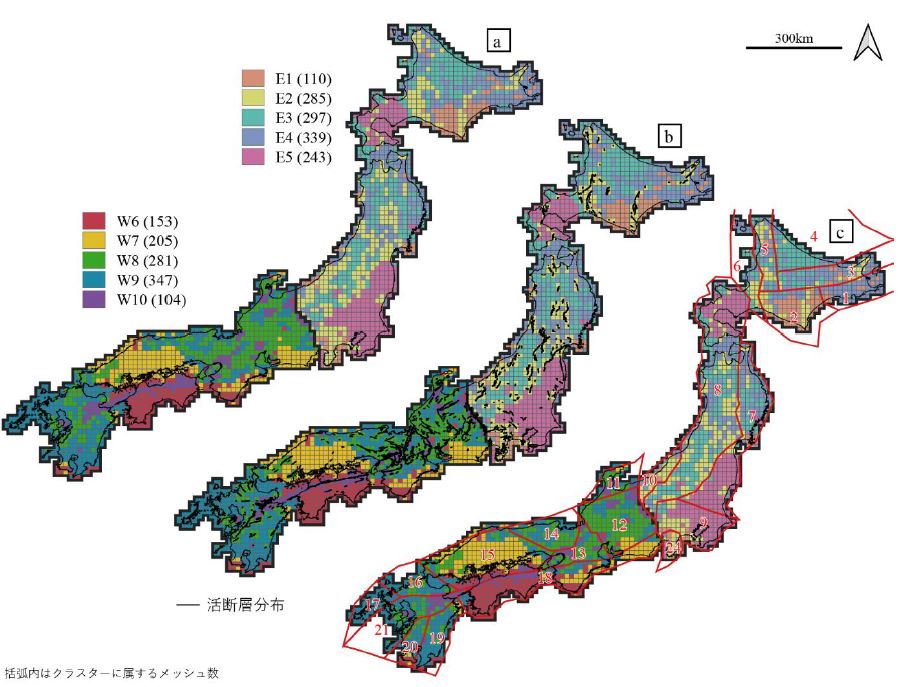
Seismotectonic classification by cluster analysis of various tectonic data. (a) cluster analysis result, (b) cluster analysis result with distribution of active faults, (c) cluster analysis result with tectonic province by HERP.
Research theme is to apply data on active faults and crustal deformation to earthquake hazard assessment and simulation of landform evolution in 100,000-year time scale. For example, probabilistic assessment of the magnitude and frequency of future large earthquakes and its consideration of regional characteristics are conducted by integrating various spatial data set regarding tectonics.
 |
|
|---|
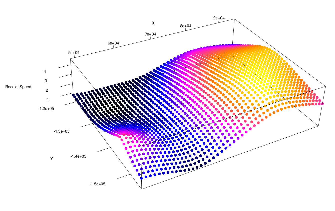
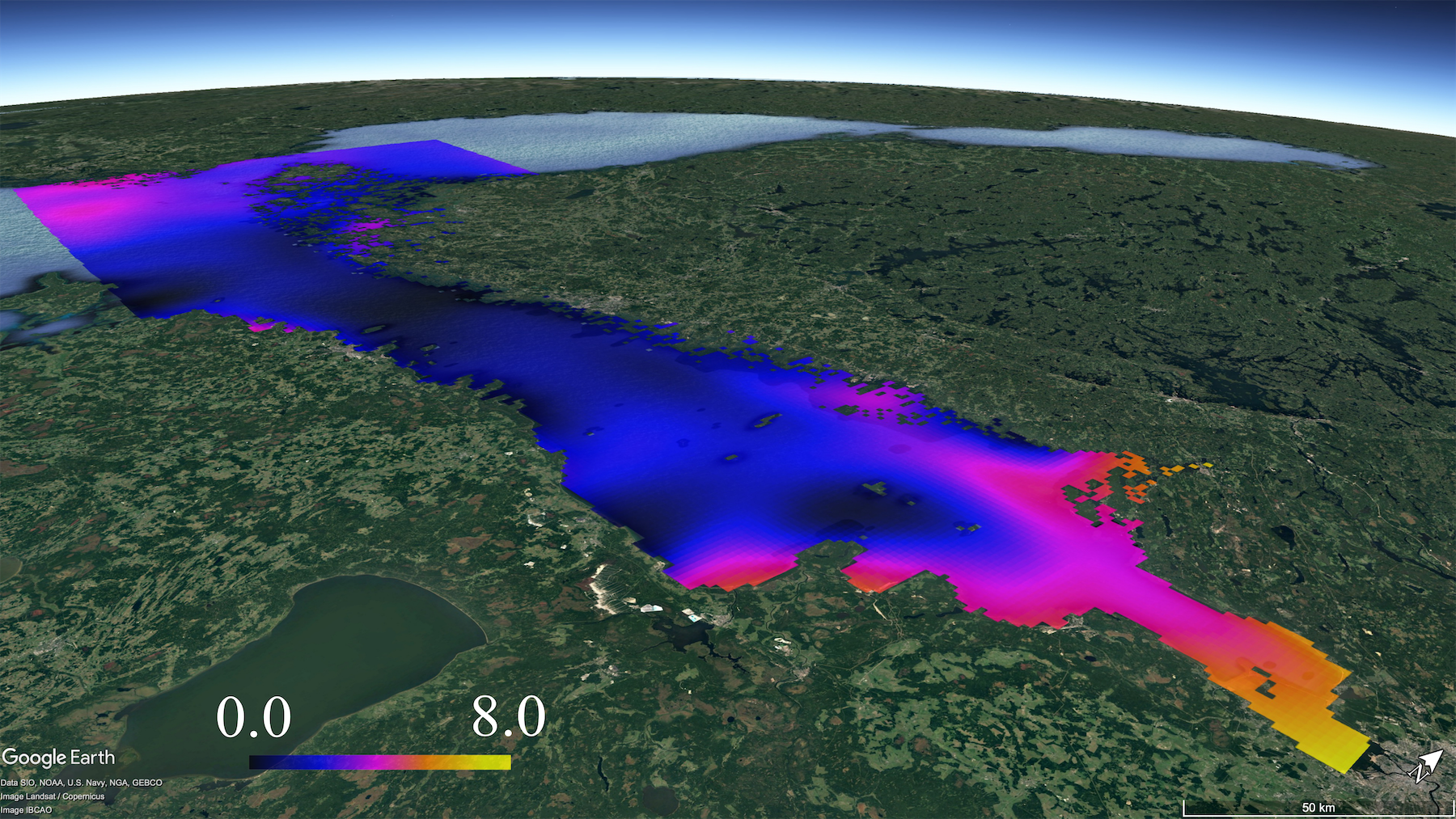
Wind distribution model of the Kobe city area by Kriging method
Combine AI, geostatistics, and geographic information systems to analyze the dynamics of environmental parameters or environmental materials. (1) Analyzing chlorophyll observation data of the surface layer of the Gulf of Finland by earth observation satellites, and considering its dynamic model. (2) Analyzing observation data from the Japan Meteorological Agency and studying the relationship between wind system model and weather in city areas.