
Field Data Analysis
We obtain a diverse range of data from fieldwork. For example, they are quantitative data from observations using infrared sensor cameras and qualitative data from interviews to the local residents. In our laboratory, we use geographical information databases to analyse the impact of the environmental issues such as abandonment of farmland and agricultural damage by wildlife. Our laboratory also contributes to build a sustainable society by developing planning methods that include a vision for the future of the local communities based on both quantitative and qualitative data, and by putting these plans into practice.
 |
|
|---|
Construction of community planning theory led by residents
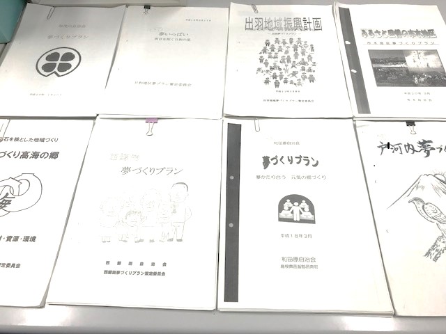
There have been cases where local residents in Japanese rural areas are embarking on planning and revitalizational development themselves in decades. In this research, we focus on such movements within the settlements scale, and try to clarify difference and characteristics compared to the conventional administration-led form. The results will allow us to construct a planning theory peculiar to the Japanese rural area and can be expected to be useful as a guideline for future regional development.
 |
|
|---|
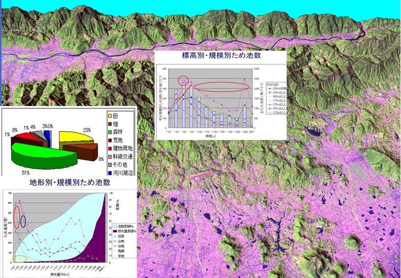
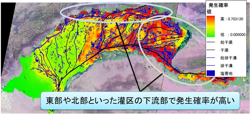
In late years, global environmental problems such as desertification, forest decrease and farmland dilapidation become serious, while local environmental problems such as the dilapidation of satoyama landscape become serious. These environmental problems occur in various spatial scale. These all are phenomenon occurred on the real space. And map (geospatial information) is the tools which can describe such space phenomenon. I have been trying to analyze various environmental problems using such as geospatial information, satellite image and statistical information so on with mathematical methods.